Update History
San Diego Trail Map - June 2014 Release
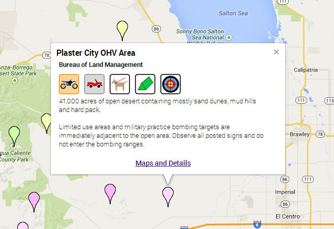
The Trail Finder is an online map to locate public lands in the coverage area. There’s an
information page for each location with a description, permitted activities, trail
maps, pictures, regulations and links to resources for the area.
Since the October 2003 update, over 500 miles of motorized trails and 400 miles
of non-motorized trails have been added. The following areas have been added or
improved:
- BLM - Various areas throughout the entire coverage area
- Castle Rock, Santee
- Chuckwalla/Chocolate Mtns Area
- Corral Canyon
- East of Imperial Sand Dunes
- Hauser Mountains Wilderness
- Heber Dunes SVRA
- Jacumba Wilderness
- Lake Cuyamaca
- Lake Morena Park
- Lower Borrego Valley
- Los Jilgueros Preserve
- Martinez Lake
- McCain Valley
- Monserate Mountain Preserve
- Ocotillo Wells – New plowed roads
- Picacho SRA
- Rock Mountain Preserve
- Salton Sea dirt roads
- Santa Rosa Plateau Ecological Reserve
- Senator Wash
- Table Mountain
- Wright’s Field
Various visual design improvements.
Added Land Boundaries for privately owned preserves.
Faster map downloads! Files are now hosted by Amazon S3 Cloud Storage to guarantee
a fast and reliable download.
Android and iPhone Version
The San Diego Trail Map is now available in a format that can be used on your Android
or iPhone.
Resolved an issue related to the display of road names on long roads. The name was
only displayed once along the length of a road. The name is now displayed on the
road between each intersection. Longer roads have been segmented to display the
name more than once.
Increased support for display of upcoming road name on supported units.