Update History
California Trail Map - June 2021
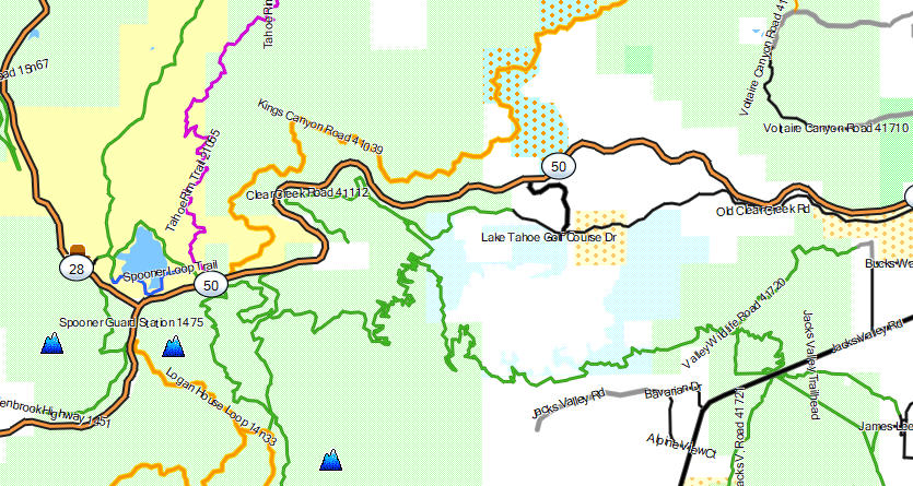
Coverage area has been increased to include portions of Carson City, Douglas, Lyon and Washoe counties in Nevada (Lake Tahoe, Walker Lake and Reno regions).
Significant updates to San Diego and Imperial counties.
Minor updates throughout the entire coverage area.
Non-motorized trails have increased from 41,250 to 42,665 miles. 1,415 miles!!!
Motorized dirt roads and OHV trails have increased from 53,790 to 54,715 miles. 925 miles!!!
The following areas have been added:
- BLM Land, west of Walker Lake
- Humboldt-Toiyabe National Forest, east of Lake Tahoe
- Lake Tahoe - Nevada State Park
- Mt. Rose Wilderness
The website and Tile Service are now hosted on dedicated server in Los Angeles. Download speeds have increased dramatically.
Mapsforge Vector Format v5
A new version of the Mapsforge rendering library has significantly improved displaying labels on curvy roads.
Two map themes are now installed. The HD theme displays map objects at a higher zoom level. There is now a Topo HD option within each theme. It will display topo lines at a higher zoom level. These can be used to set the density of the map to your liking.
Locus Map displays the map beautifully. Not all apps have implemented the new library so you may not see a change.
If you use the Topo background, you will need to download the new version of it.
The northern bounds of the southern California map have been slightly lowered to accommodate increased map content.
A northern California map has been added to due to the increased coverage area.